Remote Camera Surveys: Monitoring Eastern Cougar Populations
Discover the precise methodology behind remote camera surveys for eastern cougar monitoring, including grid deployment, scent lures, and field data collection.
Remote camera work for cougar tracking starts with restraint. The crew does not begin by chasing a report, reading fresh excitement into every broken twig, or placing cameras where access feels easy. It begins by defining what evidence must look like before anyone walks into the timber.
For Appalachian carnivore corridors, that discipline matters. A camera station can sit through rain, heat, leaf fall, prescribed fire smoke, and long stretches of nothing. If the station was placed under a weak protocol, the silence means little. If the station was placed under a careful protocol, the same silence becomes useful field information.
In this Article
Defining the Remote Camera Survey Methodology
Survey Design, Grid Mapping, and Project Governance
Hardware Specifications and Deployment Protocol
Station Setup: Scent Lures and Attractants
Field Data Collection and Secondary Evidence
Mitigating Field Challenges and Environmental Variables
Evaluating Survey Efficacy and Next Steps
Defining the Remote Camera Survey Methodology
A remote camera survey is a non-invasive wildlife monitoring methodology utilizing motion-detecting cameras to capture photographic evidence of target species within a defined habitat. That definition is strict because the method collapses without boundaries. Before any equipment enters the field, the project must fix three things: the target species, the habitat area to be sampled, and the photographic evidence needed to treat a detection as meaningful.
The camera station is the observation unit
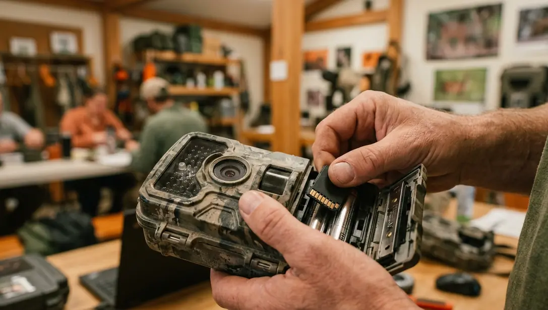
The primary tool is the remote motion-detector camera. For large carnivores, its value lies in persistence. A person can inspect a track bed once. A camera can watch a travel route between scheduled checks and record movement when no crew is present.
The baseline observation unit is the camera station, not the individual sighting report. That distinction keeps the survey from becoming a rumor-response exercise. A sighting may guide attention, but the station holds the evidence: location, deployment period, camera status, lure setup, and the resulting photographs or non-detections.
This method replaces invasive tracking pressure with passive monitoring. Crews do not need to keep returning to the same suspected route day after day, pressing scent and disturbance into the site. The camera waits. The animal, if it passes within the trigger zone, supplies the record.
Main Point: Remote camera surveys do not prove presence by enthusiasm. They build a repeatable evidence trail from fixed stations, defined habitat, and reviewable photographs.
Survey Design, Grid Mapping, and Project Governance
Survey design begins on paper and screen before it reaches the ridge. In the Beckley, West Virginia planning session on February 6-7, 2003, the logic followed that order: map first, boots second, cameras third. Funding support awarded in late 2002 by private conservation foundations gave the project field capacity, but governance made the capacity useful.
Build the grid from terrain, not convenience
Topographic maps serve the first cut. They reveal terrain funnels, drainages, ridgelines, roadless pockets, and likely movement routes. A cougar-sized carnivore does not cross a landscape at random. It tends to exploit cover, slope, saddles, benches, and edges where movement costs less or concealment improves.
GPS technology then locks each selected station into a precise record. That is a quiet but important difference from landmark-only descriptions. A note that reads near the old logging road below the second hollow may help the person who wrote it. A GPS-recorded station can be revisited, audited, compared, and reconstructed by another competent crew.
The grid pattern protects the survey from wishful clustering. Without a grid, cameras drift toward easy parking, interesting anecdotes, and attractive-looking trails. With a grid, the project reduces large unsampled gaps in suitable terrain and supports statistically viable monitoring. The pattern does not make the forest simple. It makes the sampling logic visible.
The field manual governs behavior
The Study Design and Field Manual sit beneath the entire project. They specify how stations are selected, how cameras are placed, how checks occur, how lures are applied, how evidence is stored, and how deviations are recorded. In practice, the manual is less a binder than a restraint system.
Good field staff improvise with weather, access, and hazards. They should not improvise the research question. The manual separates field judgment from methodological drift.
Hardware Specifications and Deployment Protocol
The equipment was not exotic. The survey used Highlander Sports remote motion-detector cameras equipped with 36-exposure film. That hardware choice shaped the workflow. Film required disciplined checks, careful handling, and a review process built around developed rolls rather than instant digital inspection.
Initial deployment sequence
The initial deployment took place on March 28, 2003, with 18 cameras placed under the field leadership of ECF President and fieldwork leader Todd Lester. The operation worked as a sequence rather than a casual camera drop.
Confirm mapped station locations against the actual ground surface.
Select a camera tree or mount point with a stable view into the intended trigger zone.
Align the sensor, flash, and expected travel line so the camera captures the animal before it exits the frame.
Record the station location with GPS and note the deployment condition.
Schedule field checks, including early checks such as April 4 and April 12, 2003.
That sequence matters because each step narrows uncertainty. A photograph with a poor angle may still be interesting, but a broadside or angled body image gives reviewers a better chance at species-level evaluation. A camera with an undocumented deployment window cannot support the same inference as one tied to a check history.
Rapid-response cameras serve a different purpose
Camera #1 was held in reserve for rapid deployment after a reported sighting. That reserve role should not be confused with the fixed grid. A rapid-response reserve camera serves a different evidentiary purpose than a fixed-grid station: it investigates a fresh report, while the grid supports systematic monitoring.
The comparison is practical. A fixed-grid station asks, what passes through this sampled habitat over time? A rapid-response camera asks, can a recent report be tested before tracks, scent, or local movement patterns disappear? Both can contribute evidence, but they should not be pooled as if they answer the same question.
Station Setup: Scent Lures and Attractants
A camera station is not finished when the camera is strapped to a tree. The station must make a passing carnivore do one extra thing: pause, turn, investigate, or cross the trigger zone slowly enough for a usable photograph.
Place the lure for the photograph, not for human neatness
The primary scent lures included standard cougar urine and estrous cougar urine. These lures were placed in the camera’s optimal trigger zone rather than directly on the camera tree. That placement is not cosmetic. If the lure sits on the tree beneath the camera, an investigating animal may crowd the lens, angle its body away, or trigger only partial frames.
The better setup treats scent placement as a photographic tool. The lure point should pull the animal across the frame, not into the equipment. The desired outcome is a broadside or angled body image suitable for review: tail proportion, body length, head shape, pelage, and movement posture all become easier to assess when the animal is not nose-to-bark at the mount.
Auditory attraction added another layer. Canine calls paired with scent placement can trigger predatory curiosity in large carnivores. The tactic works by combining an odor cue with a sound cue, then letting the camera record whether anything investigates. It does not force a detection. It improves the chance that a passing carnivore slows inside the detection zone.
Expert Tip: Treat every lure decision as a camera-angle decision. If the attractant does not improve the photograph reviewers need, it is decoration, not protocol.
Field Data Collection and Secondary Evidence
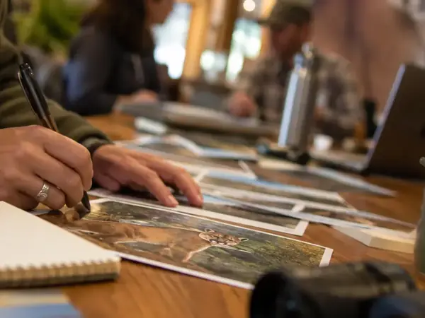
Film processing created the first review gate. The 36-exposure rolls were developed into index prints, allowing field staff to scan rapidly for target animals, non-target wildlife, blank frames, and equipment problems. Index prints did not end the review. They sorted the pile.
Photographs first, physical evidence second
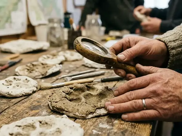
For a remote camera survey, photographs remain the central evidence product. Secondary field evidence can strengthen interpretation, but it should not outrank the station record. The Eastern Cougar Foundation protocol preserved physical impressions with plaster casts when tracks appeared worth retaining. A cast gives reviewers a stable object to compare after weather, leaf litter, or crew movement would have degraded the original track.
Potential cougar scat received field screening based on visible traits, including segmented form and blunt ends. Those features can justify collection or closer review, especially when found near a camera station, travel corridor, or track line. They do not, by themselves, close the case.
Caution: Scat shape and track form are screening evidence, not final confirmation, unless supported by a photograph, DNA analysis, expert review, or a documented chain of comparison.
The field effort also depended on qualified observers working under shared expectations. Participation included USFS representative Jay Martin, Monongahela National Forest biologist Robert Stovall, and field participant Dave Gibson. Their value was not in lending names to a claim. It was in strengthening the chain between ground observations, station records, and later review.
Record the non-detection with the same care
A blank roll can tempt a tired crew into shorthand. That is where surveys lose value. A non-detection should be tied to the same record elements as a detection: station, dates, camera status, lure condition, and check history. Without those details, the absence of a cougar image may reflect dead batteries, poor alignment, missing equipment, or interrupted sampling rather than animal absence.
Mitigating Field Challenges and Environmental Variables
The field schedule has to absorb realities that never appear cleanly on a survey map. Prescribed burns, severe seed tick infestations, and temporary camera maintenance can all change survey timing without changing the underlying research question.
Environmental conditions change access and effort
Severe seed tick infestations can dictate when field crews enter or avoid a site. That is not a minor comfort issue. Crew safety affects station servicing reliability, and unreliable servicing creates gaps in effort. A project that ignores those conditions may keep a tidy schedule on paper while degrading the actual field record.
Prescribed burns create a different kind of complication. They are land-management actions, not survey errors. When burns occur in or near a survey area, coordination with the responsible land-management agency, including the US Forest Service where it holds that role, becomes part of the protocol. Cameras may capture evidence of the burn itself, altered vegetation, or changed access conditions. Those facts belong in the station history.
Loss and maintenance are sampling events
A camera stolen from a tree on June 4, 2004 is not a minor anecdote; it creates a documented sampling-effort gap that must be separated from a true non-detection. Camera #3 did not merely stop producing photographs. Its absence changed the survey record for that station and period.
Maintenance has the same methodological weight, though a different cause. Temporary camera removal for maintenance occurred in April 2007. That interval should be marked plainly, not hidden inside a general check log. A camera cannot monitor habitat while it sits off station.
One documented volunteer-led deployment ran from April through August 2004, with field leadership from ECF volunteers Judy Tipton and Dana Hurt. The replication lesson is straightforward: volunteer capacity can extend coverage, but only when the field manual makes station setup, check timing, and evidence handling consistent across people.
Evaluating Survey Efficacy and Next Steps
Survey efficacy is not judged by whether the work feels thorough. It is judged by whether another competent crew could reconstruct the survey and understand why each detection, non-detection, camera failure, and missing interval occurred.
The defensible record
The core reliability documents are the Study Design and Field Manual. Together, they keep the work from sliding into scattered camera trapping. The minimum defensible record links each photograph or non-detection to a station location, deployment period, check history, lure protocol, and equipment status.
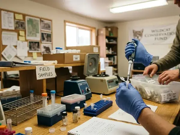
Remote camera surveys, when executed with precise grid patterns and consistent lure protocols, remain a foundational tool for modern rewilding research. They allow field teams to test reports without harassing wildlife, to separate hopeful accounts from reviewable evidence, and to pair photographs with secondary materials such as casts, scat screening notes, and, where available, DNA analysis.
Given the variables of terrain, weather, and equipment limitations, is your current monitoring protocol rigorous enough to withstand scientific scrutiny, or does your field manual require an immediate overhaul?