Separating Fact from Folklore in the Central Appalachians
How do we separate credible large-carnivore evidence from cases of mistaken identity in regions where these animals have been absent for over a century? This question anchors our entire approach to eastern cougar recovery. The Central Appalachian pilot program treated public interest as a potential research asset. We organized that enthusiasm around a strict evidentiary standard.
The pilot focused exclusively on reports concerning eastern cougars and other large carnivores in selected Central Appalachian counties. A useful report preserves the observation date, location, original image or sample, and surrounding habitat context. Supplying a sighting narrative alone yields nothing we can test. We needed a way to harness the enthusiasm of the Central Appalachian community—structuring their public interest into scientific utility. The landscape holds a deep ecological memory. The desire to see these apex predators return often colors human perception, leading to a high volume of well-intentioned but unverifiable public sighting reports. We built a system to filter that perception through rigorous scientific criteria. Without this filter, the sheer volume of reports overwhelms our capacity to investigate genuine leads.
Moving Beyond the Anecdotal Sighting
A free-form collection of emails and secondhand stories drains limited research resources. Observers are often sincere in their belief that they have encountered a large carnivore. We separate the sincerity of an observer from the evidentiary strength of the report. Sincerity simply cannot substitute for inspectable evidence. A verbal description lacking a photograph, track cast, hair, scat, or carcass cannot independently verify species identity.
Early submission logs showed the need for a structured filter. Without physical proof or scale, anecdotal evidence creates a volume of noise that obscures potentially valid data. We designed the intake model to reject free-form narratives in favor of standardized data points. This forces the observer to provide actionable information. Every submission must clear a baseline threshold of verifiable facts before it consumes analytical time. A structured reporting system moves evidence submissions from rumors toward actionable data.
We require structured fields to move submissions from rumor toward records that withstand scientific scrutiny. A viable submission must include:
- The exact date and time of the observation.
- A mappable location, preferably GPS coordinates.
- Original, unedited media files containing intact metadata.
- A description of the surrounding habitat context.
- The observer's direct contact information for follow-up interviews.
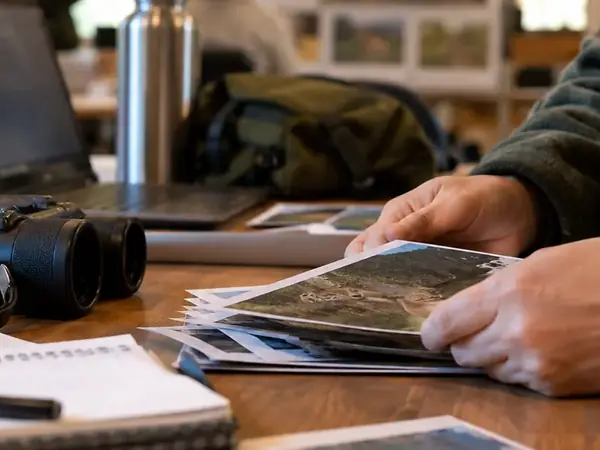
Images undergo screening for a scale reference, original resolution, capture time, camera position, and visible environmental features. These elements help estimate body size and context.
Directing Resources Toward Evidence Literacy
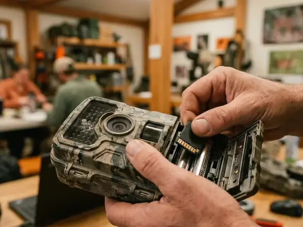
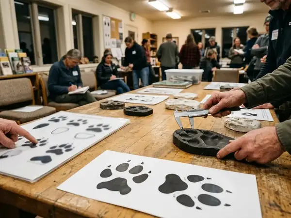
Pilot resources flowed first toward evidence literacy. We owe a massive debt to the local environmental advocates who helped translate our protocols into field-ready habits for residents during the Central Appalachian pilot. Staff and partners showed community members how to photograph an entire trackway before taking close views. We taught them to place a ruler beside a print. Training covered camera height and the critical importance of preserving original trail-camera files. We also emphasized avoiding unnecessary handling of possible scat or hair.
A well-intentioned public armed with smartphones is only a scientific asset if they understand the physical requirements of scale and provenance.
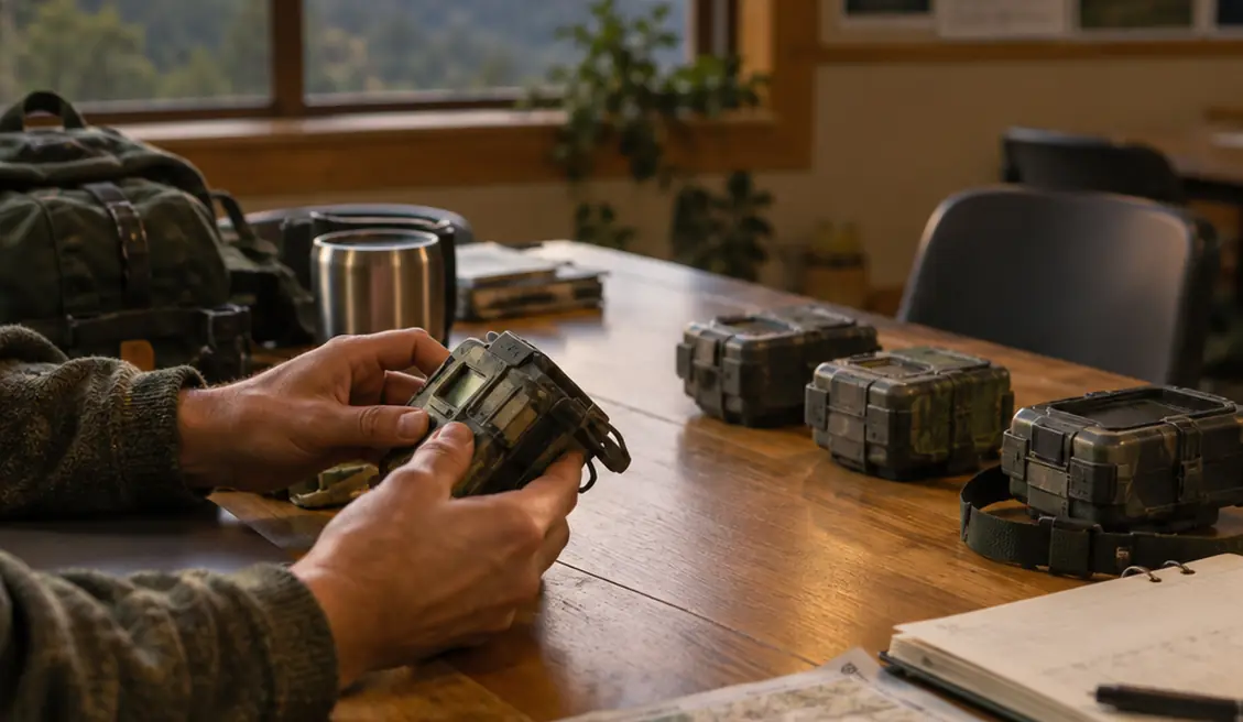
Outreach materials distinguished three evidence classes: photographs or video, tracks and trackways, and physical material such as hair or scat. Trail-camera guidance emphasized unobstructed travel routes, stable mounting, correct date and time settings, and retention of the original file. Track instruction called for one photograph showing the surrounding trail, one showing the track sequence, and one close image with a ruler or similarly reliable scale.
Outreach remained confined to the pilot's designated test counties. This allowed us to review, map, and follow up on incoming records within our available field capacity. Its qualitative results should never be treated as a region-wide estimate of cougar presence. We invested heavily in community education because a well-trained public acts as an optimal extension of our field teams.
Triage and Technical Review of Field Submissions
Reviewers first check whether a submission contains a date, mappable location, observer contact information, and an original file or recoverable physical sample. Reports with physical evidence or clear imagery advance to technical review. Ambiguous images are retained as unresolved. Triage categories distinguish unsupported observations, incomplete but potentially recoverable records, identifiable non-target animals, unresolved evidence, and records warranting expert follow-up.
We assess domestic dogs through visible collar or coat traits, claw registration, track symmetry, gait, and association with roads or homes. Bobcats are evaluated through body proportions, tail length, print size, and local context. When examining a potential track, we look for specific feline indicators:
- Four distinct toes arranged in an asymmetrical arc.
- A general lack of registered claw marks, as feline claws are typically retracted.
- A broad heel pad featuring lobed margins at the rear.
- A direct-register walking pattern where the hind foot lands inside the front footprint.
While our screening protocols are rigorous, substrate distortion prevents any single track feature from serving as definitive proof. For digital evidence, reviewers seek the uncropped original. Forwarding, screenshots, and social-platform compression strip metadata and obscure edge detail. We break an Appalachian cougar submission into provenance, original media, in-plane scale, trackway context, anatomical review, alternative-species screening, and follow-up status. This systematic breakdown ensures that no single compelling feature overrides a lack of foundational context.
Correcting Frequent Omissions in Public Reports
The pilot's recurring gaps became our primary teaching examples. Track photographs frequently omitted a scale or showed only one print. Trail-camera submissions arrived as cropped screenshots with no timestamp or preceding and following frames. Possible scat or hair reached reviewers after exposure, contamination, or repeated handling.
Critical Errors in Sample Collection
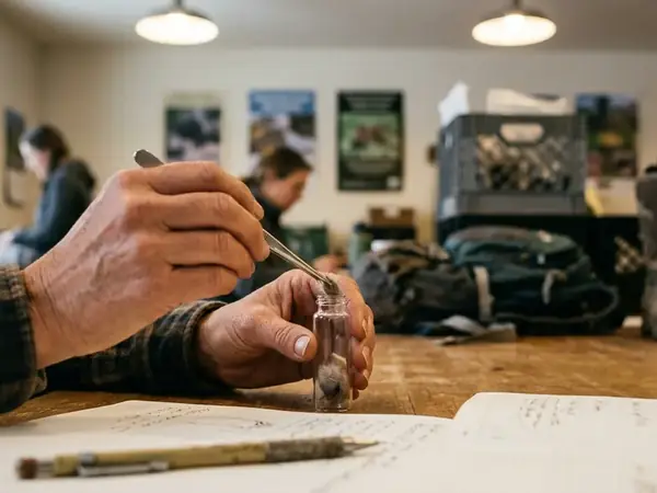
Physical material destined for DNA analysis loses evidentiary value when its collection site is undocumented or when it is mixed with soil, touched repeatedly, or stored without a link to the observation record. Contamination destroys the utility of environmental samples before they can be analyzed.
A coin or ruler must sit in the same plane as a track. Holding it closer to the camera creates a misleading size comparison. A single trail-camera frame can conceal a dog's collar, a bobcat's short tail, or the stride pattern visible in adjacent frames. The original sequence is vastly more useful than the most dramatic image alone. Track evidence should include both close detail and the full trackway. Stride, direction of travel, and repeated print shape help expose substrate artifacts.
Based on the pilot's technical review data, we use these gaps to demonstrate why strict reporting criteria are vital for rewilding research. A contaminated sample or a distorted photograph actively hinders our conservation efforts. Following these protocols keeps a submission reviewable.
The Next Phase of Regional Carnivore Monitoring
We judged the pilot qualitatively by whether incoming submissions became more reviewable. Community instruction produced records with better context, clearer scale, and more complete source files. This allowed reviewers to dismiss common animals efficiently and reserve field attention for stronger cases. Keep the pilot's county-limited improvement in submission quality separate from any claim that a free-ranging eastern cougar population has been certified.
Anyone sending future evidence must adopt these standardized reporting protocols. Future submissions should pair the observation date and mappable location with original media, an in-frame scale where appropriate, habitat context, and the observer's contact information. No report should be described publicly as confirmed solely because an image appears large or catlike. Confirmation requires evidence that survives anatomical, contextual, and provenance checks.
A single, clear photograph of a track alongside a physical scale reference provides more actionable rewilding data than a hundred unverified anecdotal sighting reports.